

Your Trails.
Your Data.
Your whole trail network, turned into clear, planning-ready insight. Fully managed — you get the answers.
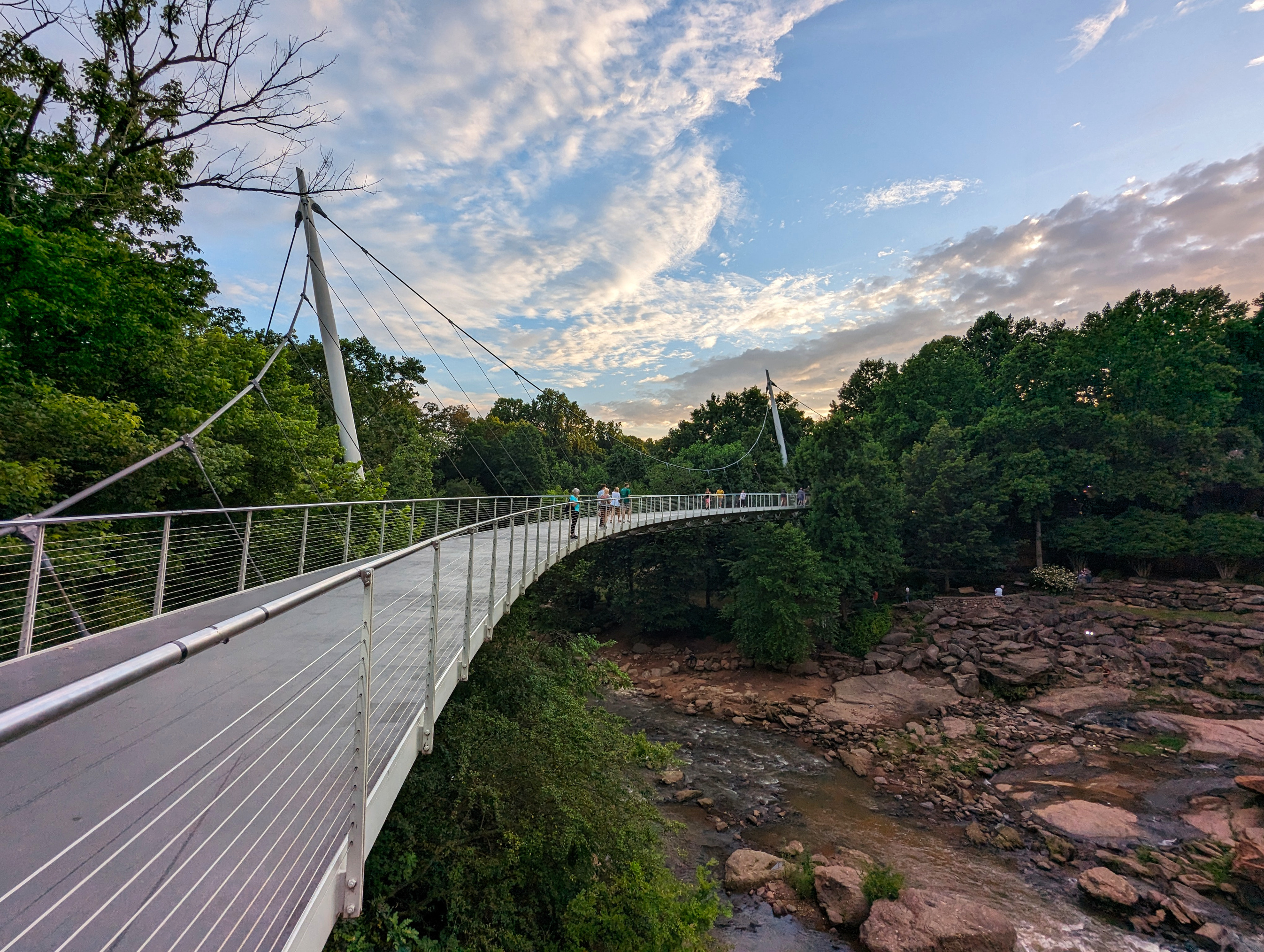
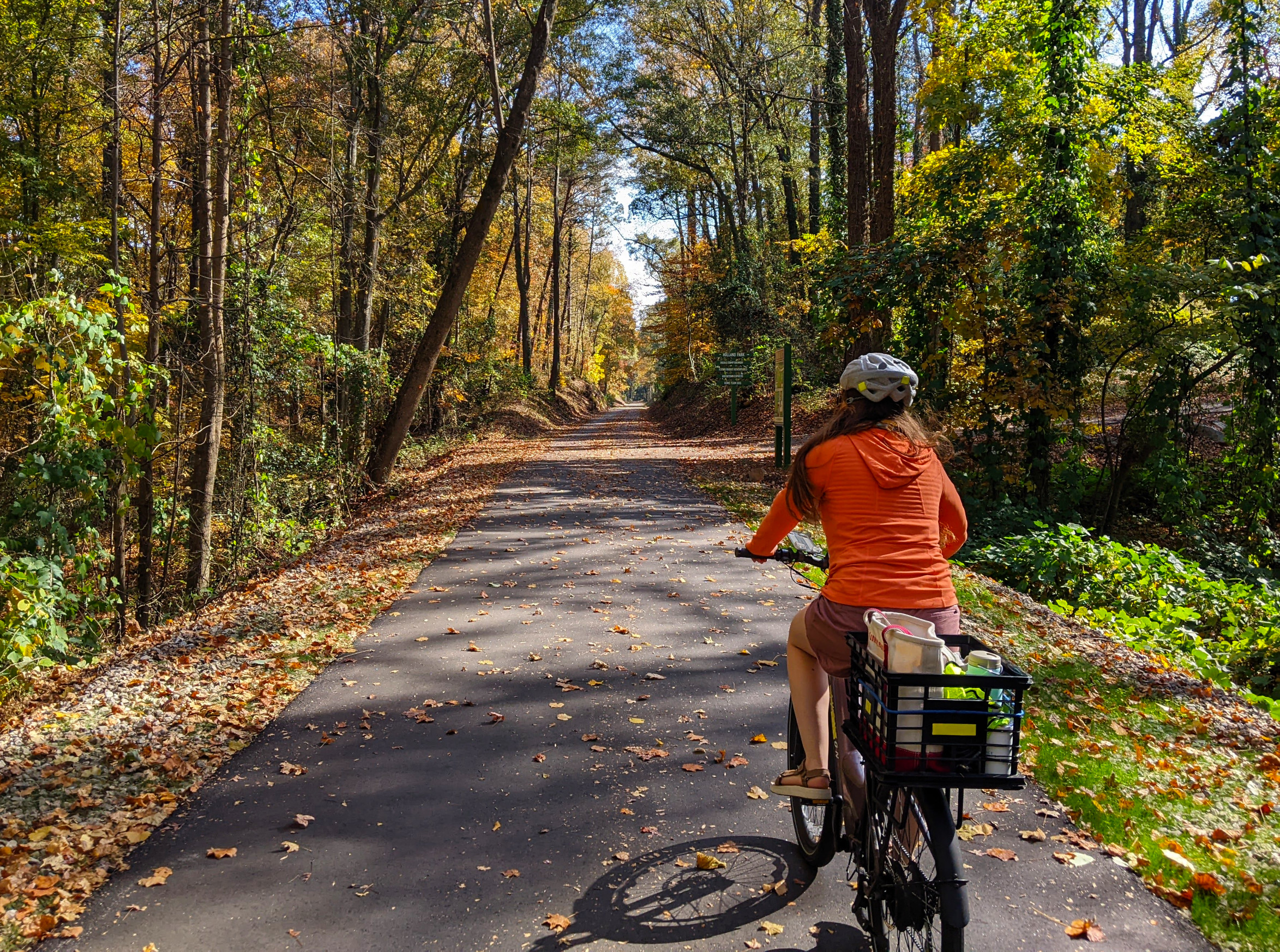
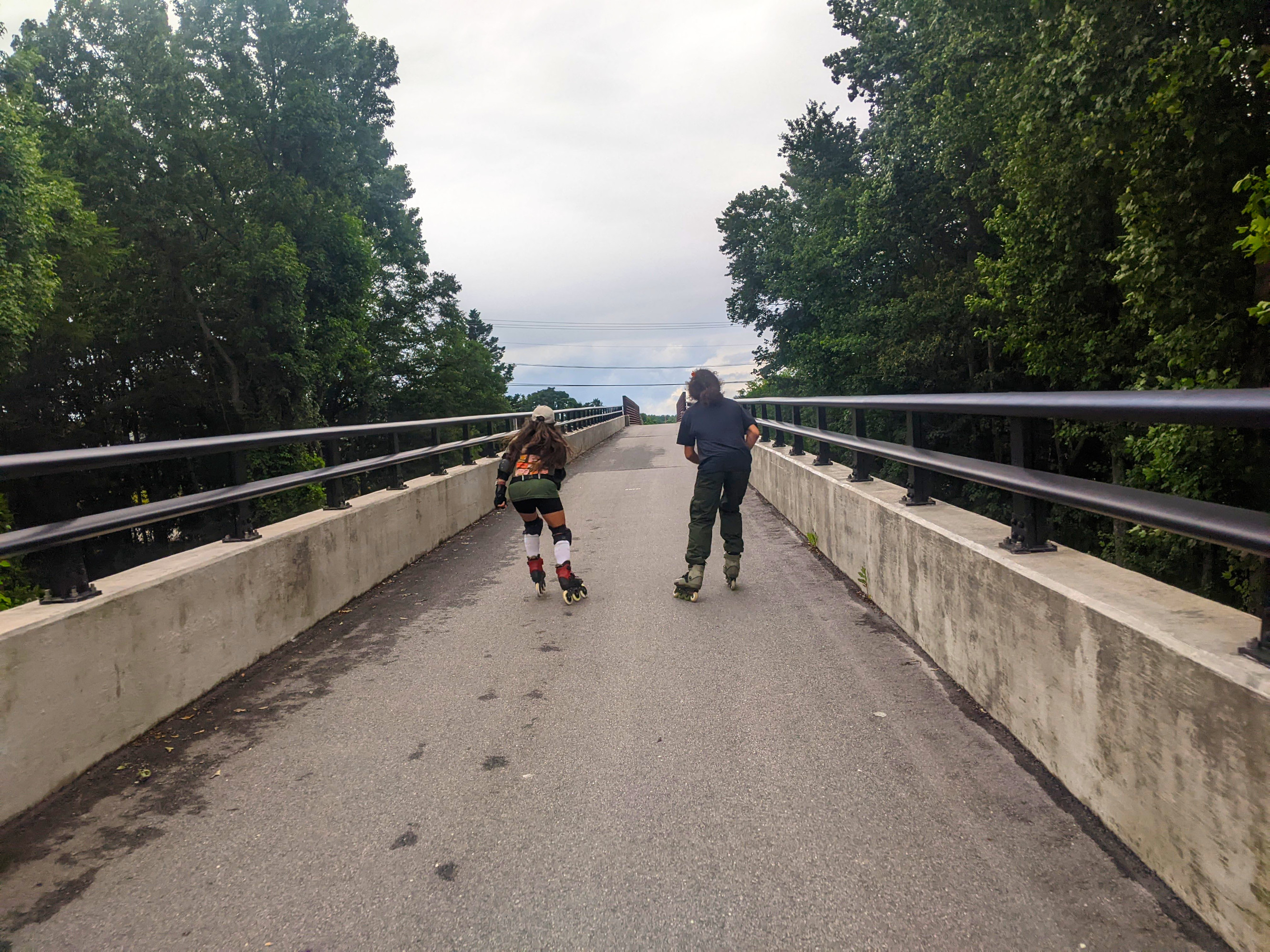
Built for cities, counties, parks departments, and trail nonprofits — managing one greenway or a regional network.
How It Works
A counting program, fully managed
You don't lift a finger. We design the deployment, install everything, keep it running, and deliver the insight. No hardware to babysit, no maintenance contracts to chase.
We handle the whole deployment
We pick the sites with you, mount discreetly, and bring each location online — across busy urban greenways or remote trails alike. Your team doesn't install, wire, or configure anything.
We keep it running
We monitor every location around the clock, push updates over the air, and handle field maintenance and redeployments. Downtime and maintenance are our job, not your budget line.
You get grant-ready insight
Cyclists and pedestrians, counted separately and rolled up to the network — the defensible numbers most trail counting exists to produce. Dashboards and reports your team can hand straight to a grant application or a planning meeting.
The Network
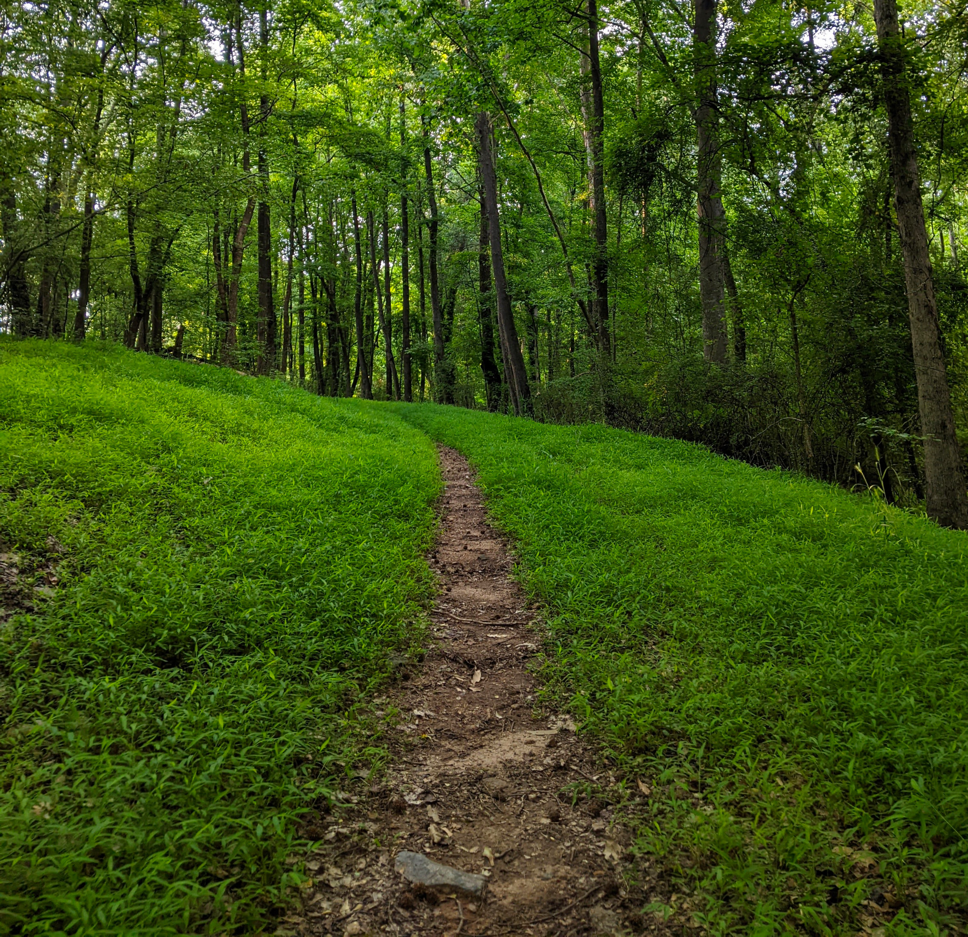
A network sees what one counter can't
You don't buy a counter — you buy a network. Patterns across many locations reveal where, when, and how usage is shifting — the picture a single one-off counter can never give you.
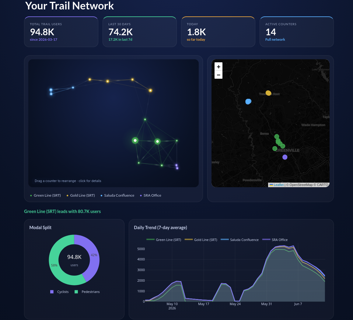
The whole greenway at a glance. Usage rolls up across every counter into site- and network-level trends you can act on.
Always reporting. We keep the whole fleet healthy and watched around the clock — a 99% uptime SLA — so your trends are continuous and dependable.
Your data, your dashboards. Clean, verified access through your client portal and API. No vendor lock-in, ever.
A trail counter constellation — every glowing node is a counter, connected into one continuous picture. Your portal shows your real network.
Your Platform
See your whole network at a glance
Log in to a private portal built around your trail network — a live overview for the big picture, with the numbers a click away when you need them.
Your Data, Unlocked
The data is yours. All of it.
Some vendors lock your own numbers behind a paywalled API. We don't. Every count we collect for you is downloadable, in full, whenever you want it — and our API is included, not an upsell.
Get your data flowing →Ready to see your trails clearly?
Tell us about your greenway — whether you're a city, county, parks department, or trail nonprofit. We'll design a deployment that delivers the data you need, without the hardware hassle.
Pricing scales with network size. One greenway or a regional network — we'll size a plan to your trails and budget.
Privacy-respecting counts. We count cyclists and pedestrians — no cameras of record, no personal information collected.
A real person reads every inquiry. Prefer to reach us directly? Email us below.